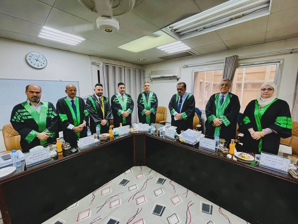
His doctoral thesis at the College of Marine Sciences at the University of Basra examined the use of geomatics techniques in predicting indicators and characteristics of soil and water adjacent to the Shatt al-Arab River.
Student Furqan Khaled Al-Daraji’s thesis aimed to build and develop predictive models for water resources management in the northern part of Basra Governorate adjacent to the Shatt Al-Arab River.
The results showed that the predictive mathematical models that were developed and proposed achieved high accuracy in monitoring the hydrological and physical properties of the soil and the hydraulic properties of the Shatt al-Arab River and the soils adjacent to it.
The study recommended using models that were built and applied using geomatics techniques to study many variables of hydrological and environmental systems due to their high efficiency in reducing effort, time, and costs compared to traditional and field methods.

Important News